Geography of Taitung
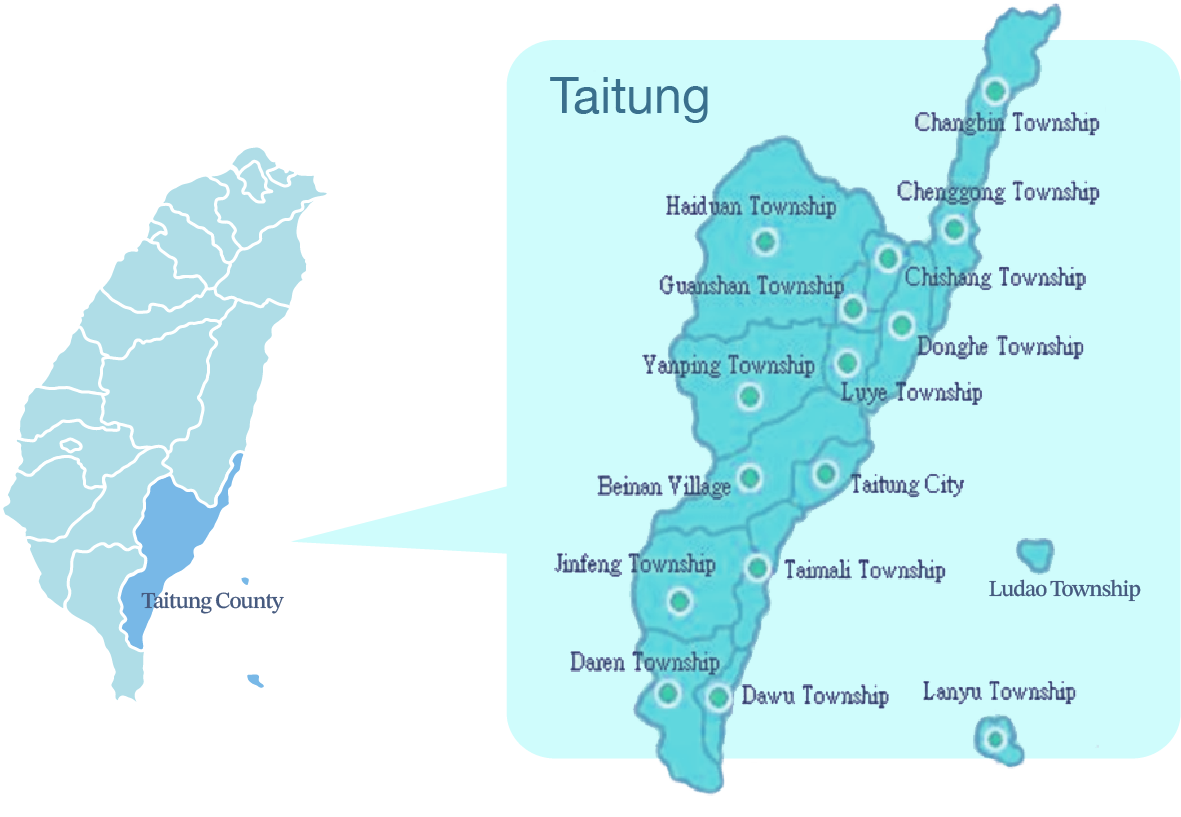
Taitung County is the third largest county in Taiwan canvassing an area of 3,515 square kilometers. It is located south of the Tropic of Cancer and faces east of the Pacific Ocean. With a population of over 105,000 people, it is the country’s least populated county with half of its population living in Taitung City.
Taitung can be divided into six regions: The East Rift Valley, the East Coastline, the South-Link Line, the South-Link Mountain Line, Taitung City, and the Offshore Islands
• The East Rift Valley sits on high terrains. Its broad high plains are made up of agricultural farm lands.
• The East Coastline is located east of the Coastal Range with 90 kilometers stretching from north to south all facing the Pacific Ocean. This region is made up of mostly mountain terrains.
• The South-Link Line is located to the south of Zhiben River. This region faces east towards the Pacific Ocean and is inhabited by many indigenous ethnic tribes.
• The South-Link Mountain Line sits along the Central Mountain Range. It is a good place for hiking and has many hot springs.
•Taitung City Area has the highest population density in the county, converging a diverse culture and many historical buildings.Here you can find a variety of delicious local food.
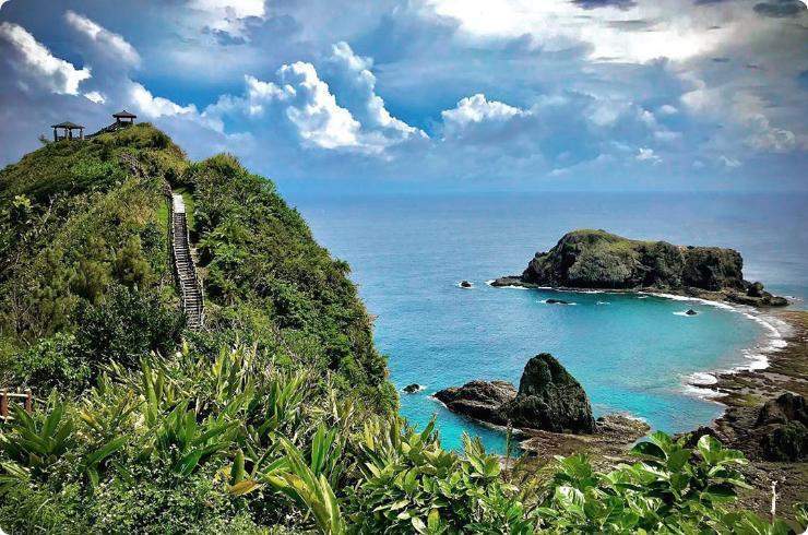
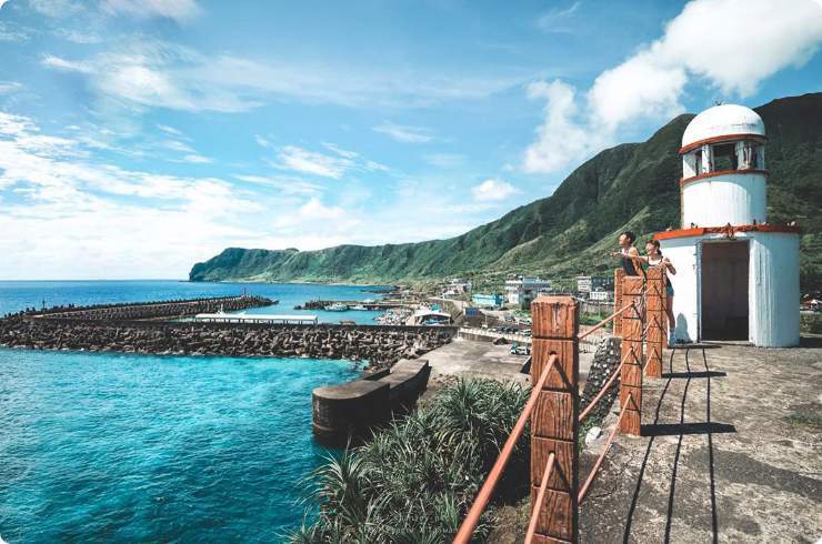
• Green Island and Orchid Island are famous for their rich natural sceneries. Both are popular holiday destinations with world-class diving.
July is the hottest month in Taitung with an average temperature of 28.7°C (83.7°F). And the coldest month is in January with an average temperature of 19.2°C (66.7°F). The weather is generally warm throughout the year with the exception when there is a sudden drop in temperatures when cold fronts pass through during the winter months.


Climate of Green Island
Green Island has a tropical monsoon climate. The weather is generally warm, humid, and windy, which is typical of an oceanic climate with an average annual temperature of 23.5°C. From April through August, the area is exposed to south wind (or Fohn). Typhoons are prevalent during the summers. Northeast monsoons can be strong during October through March, with over 160 days of strong wind. Green Island has a rainy climate, and there is no significant difference between the dry and wet seasons.
The climate is generally warm all year round, with no drastic differences between the seasons. July and August are the hottest months of the year. The average temperature can reach 29 °C. January and February are the coldest months, with an average temperature of about 20°C.
The Pacific warm currents surround Green Island. The warm water temperature is maintained above 20°C, even during the winter. As a result, it’s suitable for diving, snorkeling and other water sports activities all year round.
The best time to travel to the island is between April and June.

Climate of Orchid Island
Orchid Island is located North of the Tropic of Cancer and has a warm and rainy tropical climate. The coldest months are December and January, with the lowest average temperature of 16.5°C in January. July and August are the hottest months, the temperature can reach 33°C. The average annual rainfall is over 3000mm, and it can rain up to 224 days annually. There is no significant difference between the dry and wet season, typical of tropical climate weather.


